European Countries

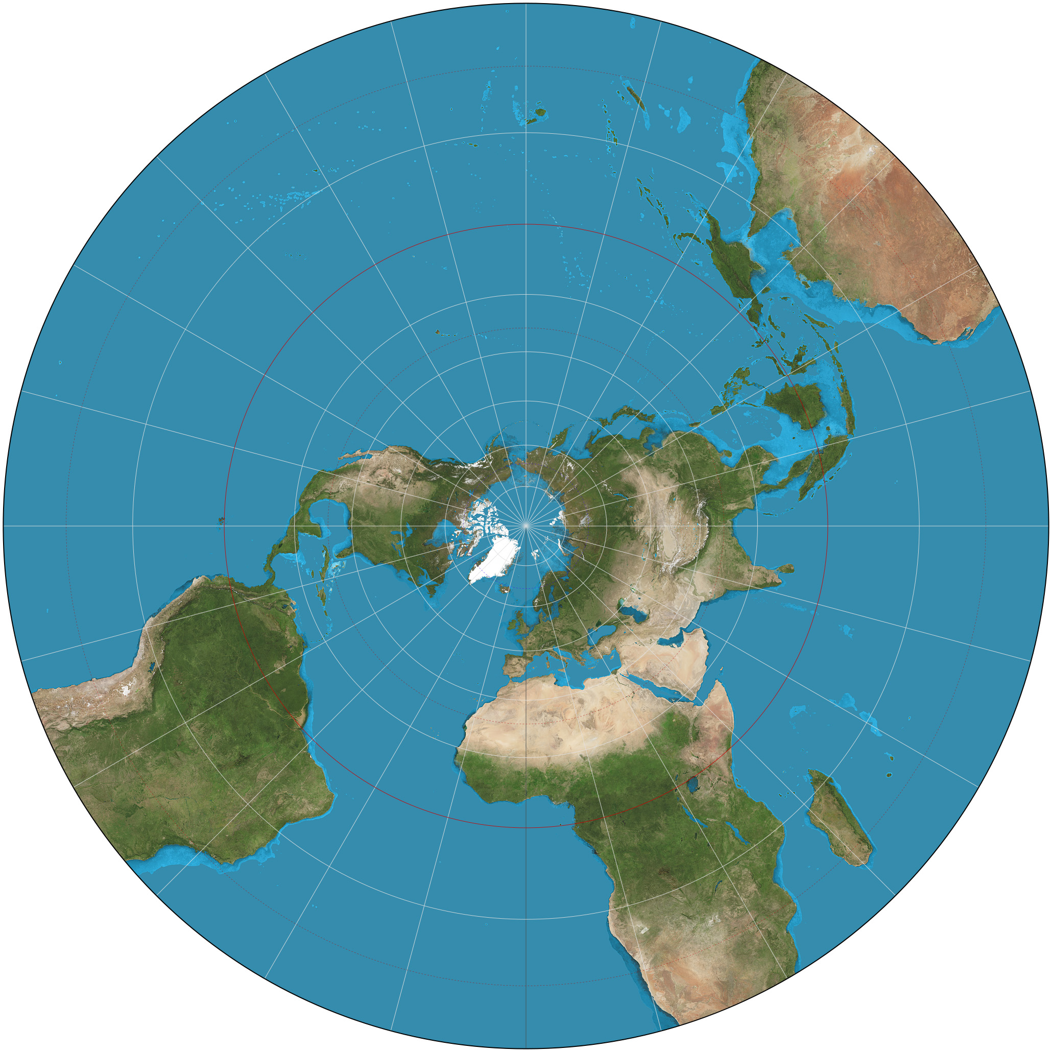
Stereographic projection
This map uses Stereographic projection. But what is a stereographic and what is projection? Well, lets start about what a projection actually is...
Map projection. Map projection is a way to represent the globe which is an inperfect sphere, onto a flat survace. (For example a large piece of paper or the screen you are currently watching ;-)) And why? Well in order to get a useable map. And that last part, well that is the hard part. You have to deal with the practival use of maps (navigation, geograpgical shapes, distance between objects, etc) as well as very complicated mathematical problems about how to shape the world. As you must surely understand, there is not one answer to this problem. Any 2D projection of the world will always distort the reality in some smaller or larger way. Because every problem has it's own solution, there are numerous amounts of projections. Each was developed to minimize the disortion for that specific use. Some are very famous, some you will probably never have heard from. Maybe click around the globe on mapclicker and find the obscure one you where looking for.
Stereographic
In geography a stereographic projection is the is the method to project a sphere or in this case the globe to an flat surface, a cilinder of cone. Where the projectionlines are drawn from a point on the globe, diametrically opposed (The two points that mark the ends of a line of diameter across the globe are opposite one another). to the projection surface. Sometimes the projection surface is chosen in such a way that is doesn't touch the globe, but cuts across it. The purpose of this method is to minimize distortion near the edges.
During the 16th and 17th century the stereographic projection was often used to create maps of the Eastern and Western Hemispheres. The stereographic projection was also used for star maps by ancient astronomers. The stereographic projection got it's name from the Flemish François d'Aguilon. It was described in the in 1613 published Opticorum libri sex philosophis juxta ac mathematicis utiles (Six Books of Optics, useful for philosophers and mathematicians alike). A good example from Rubens is seen on the right. It shows the shadow of the globe projected on the ground.
Stereographic map example
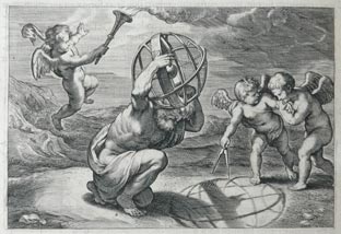
Illustration by the Flamish Rubens for "Opticorum libri sex philosophis juxta ac mathematicis utiles", by François d'Aguilon.