Japan Prefectures

Mercator projection
This map uses Mercator projection. But what is a mercator and what is projection? Well, lets start about what a projection actually is...
Map projection. Map projection is a way to represent the globe which is an inperfect sphere, onto a flat survace. (For example a large piece of paper or the screen you are currently watching ;-)) And why? Well in order to get a useable map. And that last part, well that is the hard part. You have to deal with the practival use of maps (navigation, geograpgical shapes, distance between objects, etc) as well as very complicated mathematical problems about how to shape the world. As you must surely understand, there is not one answer to this problem. Any 2D projection of the world will always distort the reality in some smaller or larger way. Because every problem has it's own solution, there are numerous amounts of projections. Each was developed to minimize the disortion for that specific use. Some are very famous, some you will probably never have heard from. Maybe click around the globe on mapclicker and find the obscure one you where looking for.
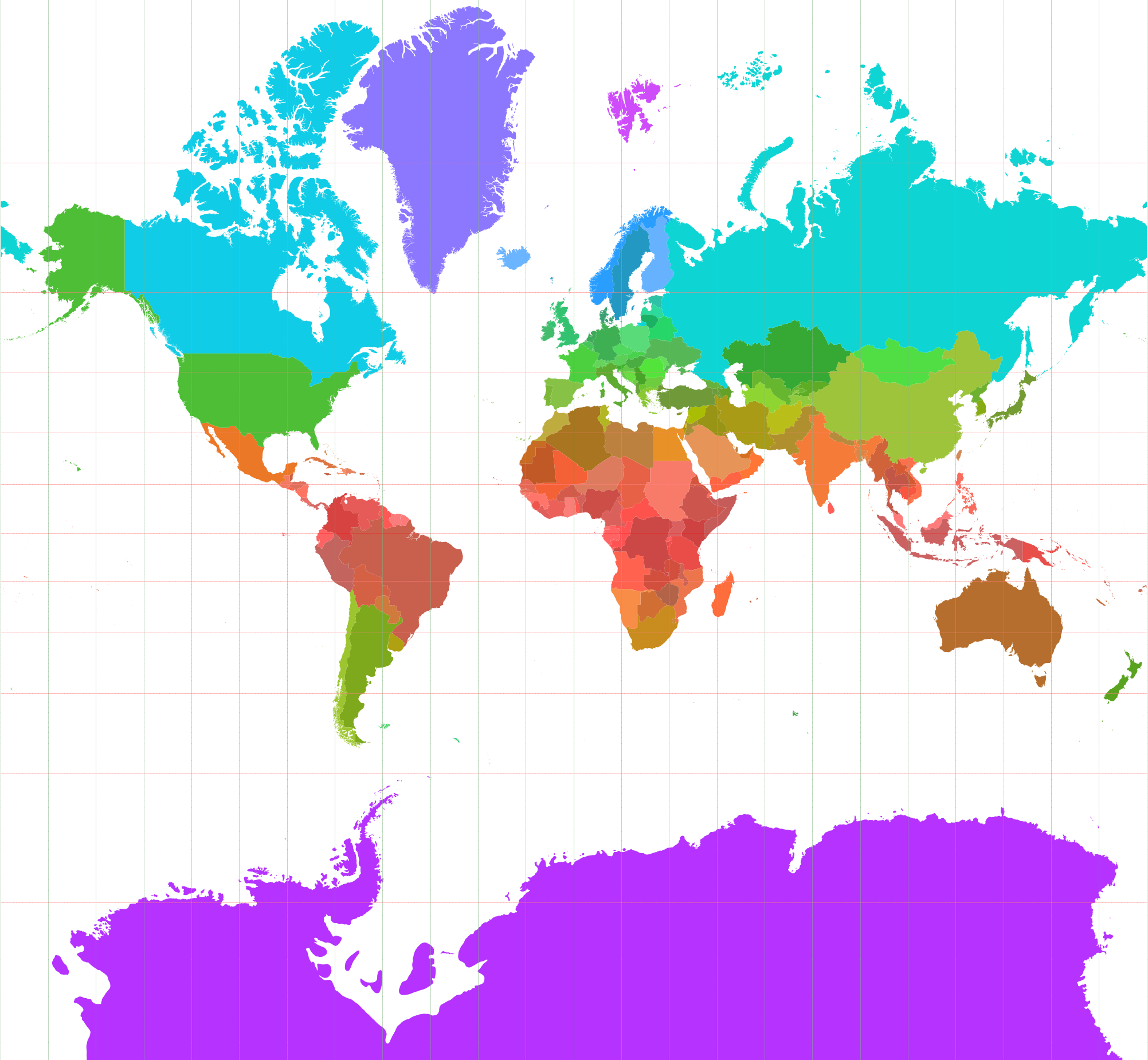
Mercator
Gerardus Mercator, a Flemish cartographer introduced the Mercator projection way back in 1569. The Mercator projection had as a main purpose to correctly preserve compass bearings. For example ten degrees west of south will be ten degrees counterclockwise from the way facing to towards the top of the map. As a consiquence Mercator maps are conformal or angle-preserving maps, i.e. if two roads meet at a certain angle on the surface of the map, they will meet at the same angle on Earth. Also, at every point, the horizontal and vertical scale is the same. This means if you take a small part of the map the geographical features (shapes, angles) are well represented. This will help you to recognize them outside or for local navigation (but only in that small map section). That is probably the main reason why for example Google Maps uses a variation on Mercator. So, you will most likely already know the map on the right. Another reason why this map projection is so famous is that itwas very useful for nautical navigation in the past (and therefore made that projection very widely used).
Downside however is that this projection is enormously incorrect in how it shows the sizes of large landmasses. Greenland seems so much larger than it aqtually is. And, because of the way Mercator projection works. It wil always exclude a small region around each pole. Otherwise the map will never stop :)
Mercator map example
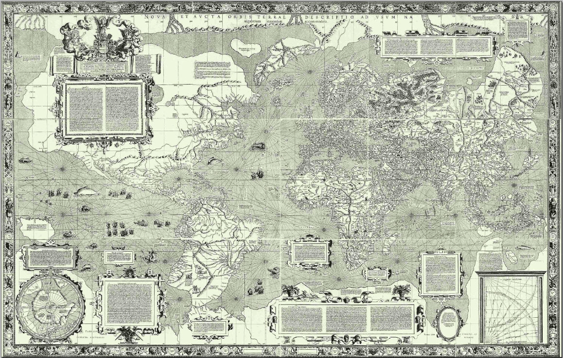
Mercator world map (Nova et Aucta Orbis Terrae Descriptio ad Usum Navigantium Emendate Accommodata (1569)